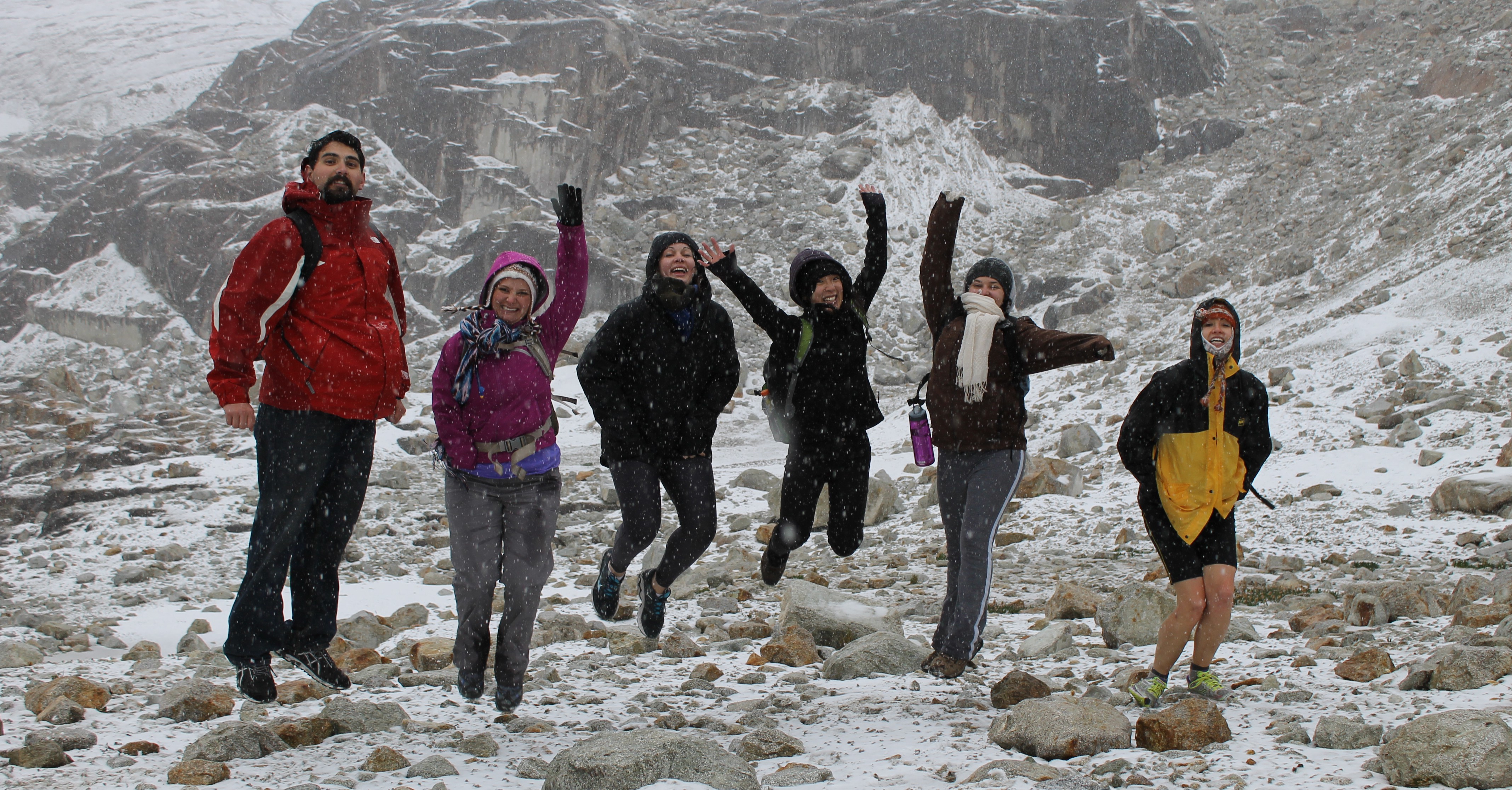
I thought we were going to the jungle. Turns out we went to a glacier.
On the road
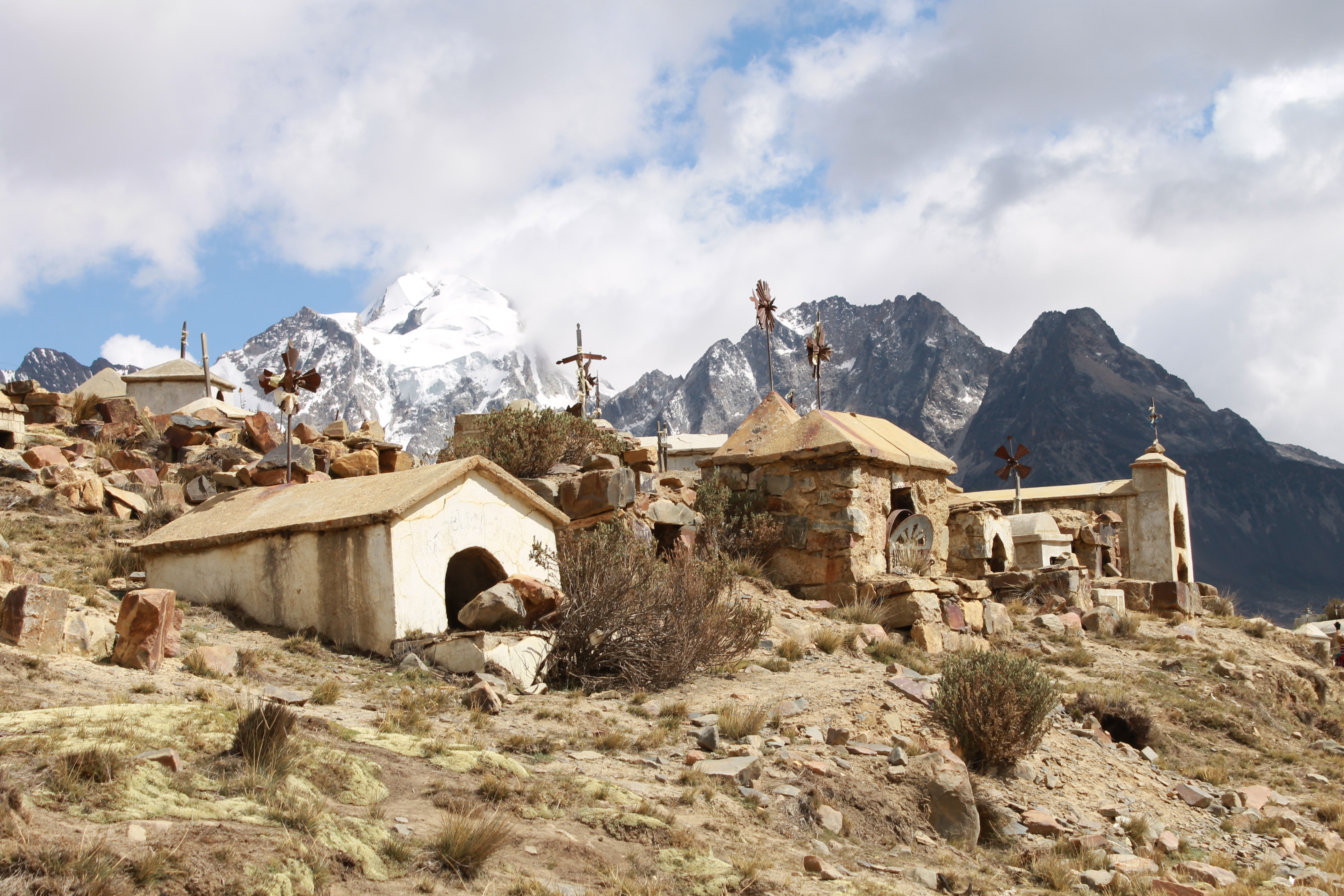
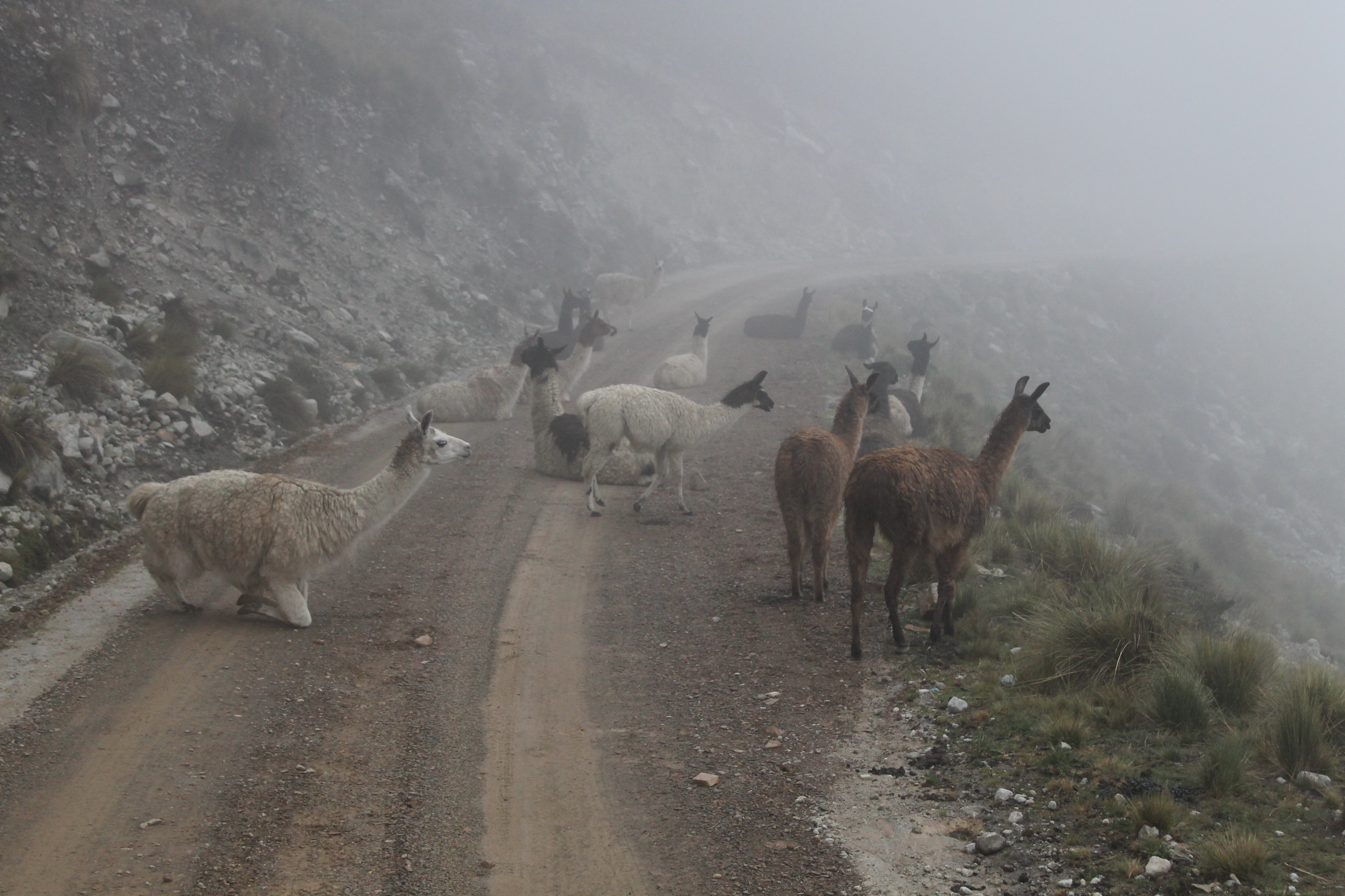
Emerging from La Paz, we drove a couple of hours through the desolate, windswept Bolivian altiplano. Our first stop was a miners’ graveyard – popular with tourists, judging by the busloads that had arrived before us. I don’t blame them. The quaint tombs (like mini cottages … or kennels) sit right by a lagoon, with the imposing Huayna Potosí looming large in the distance.
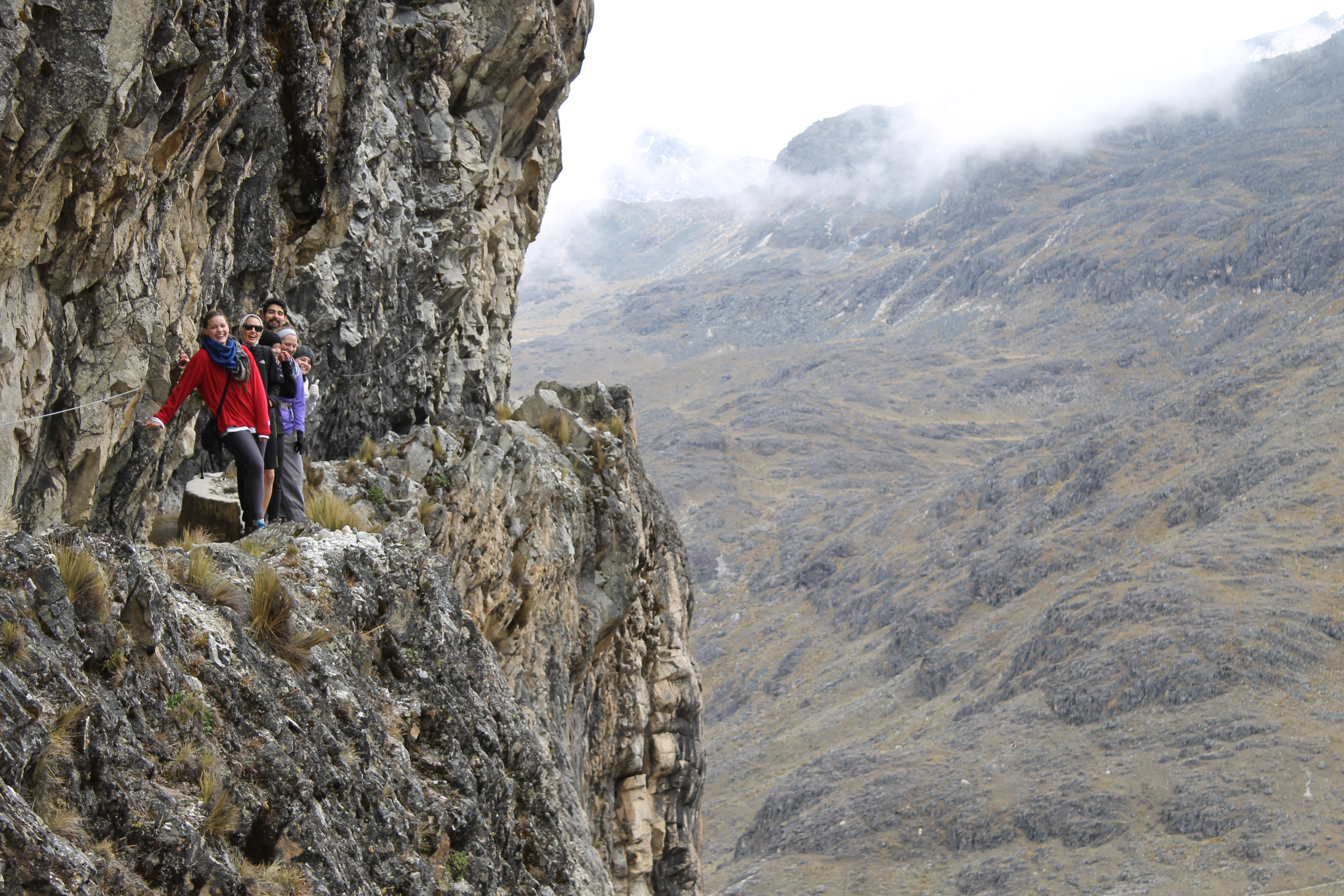
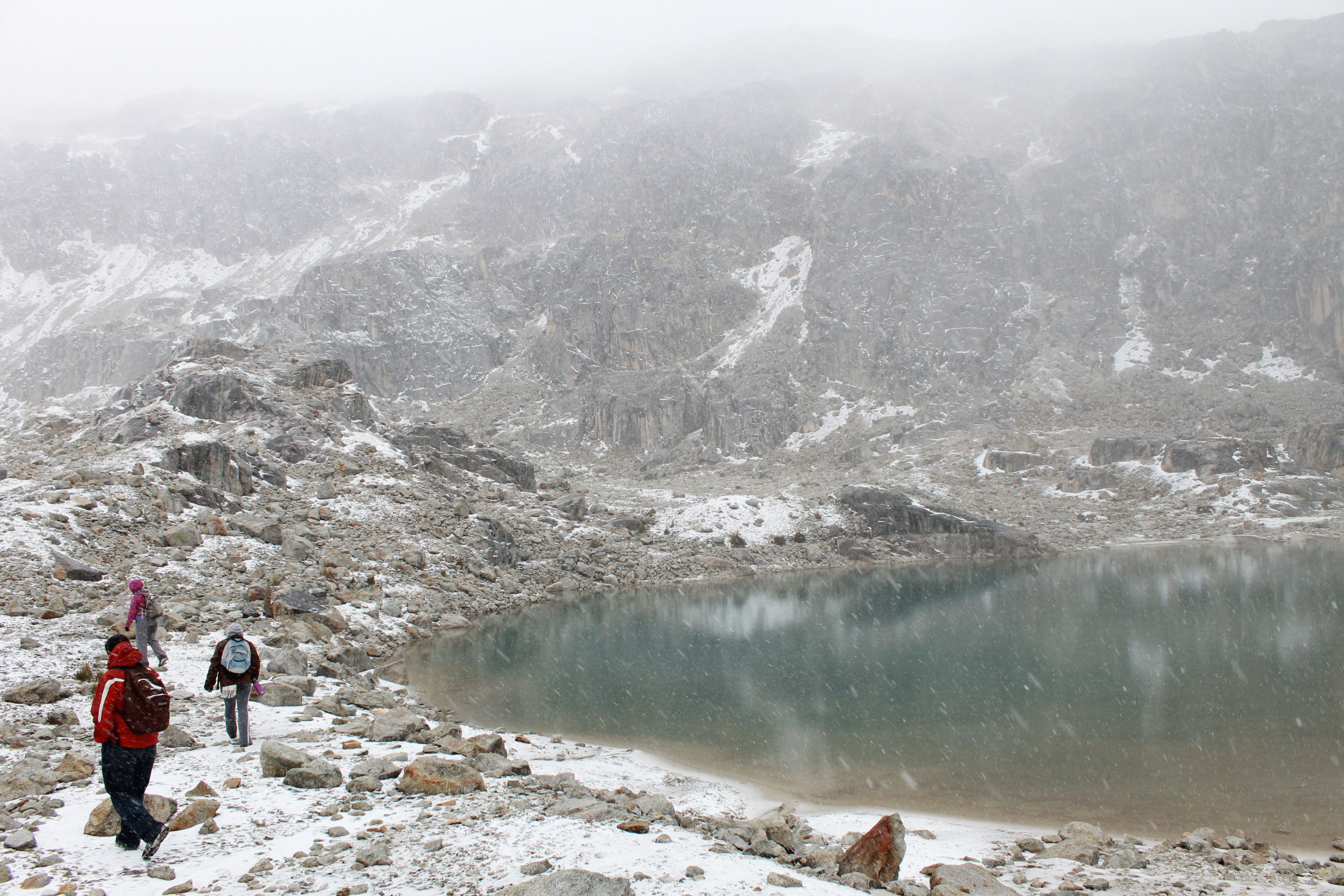
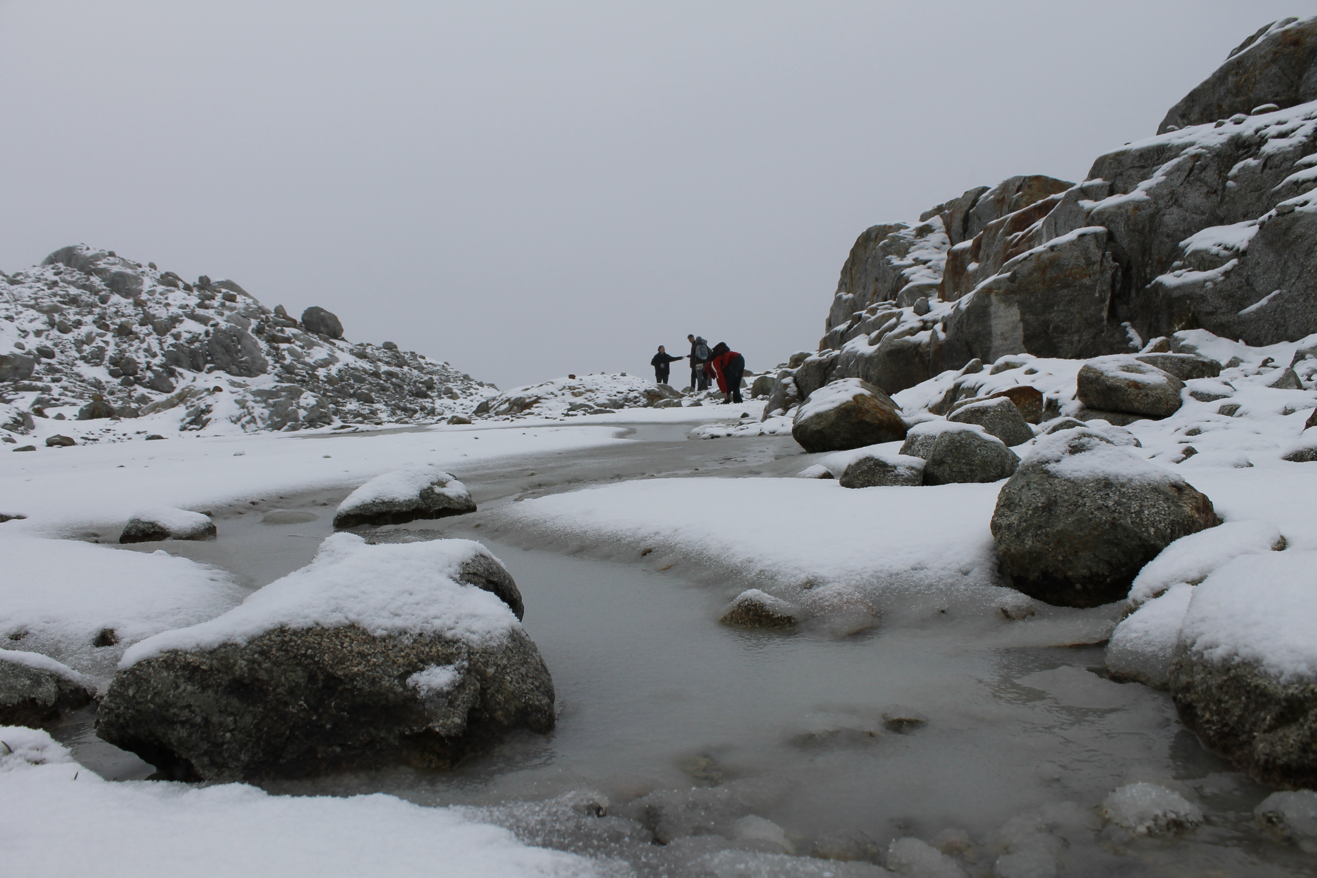
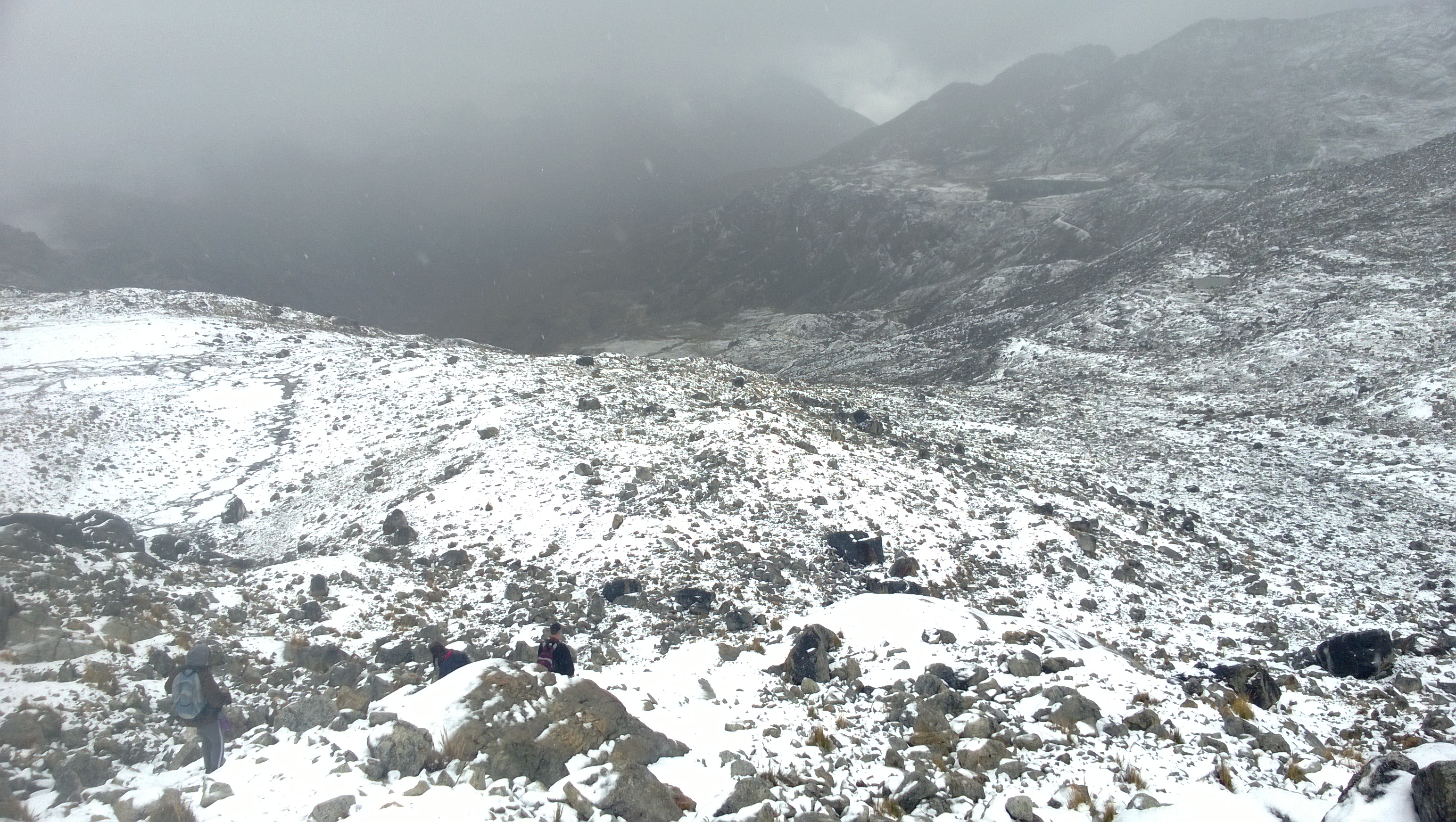
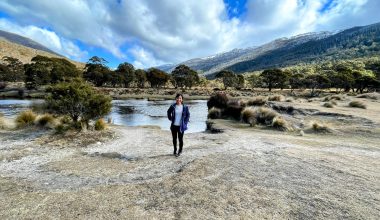
Charquini
Our second stop was Charquini, a glacier a couple of hours out of La Paz, so called because it supposedly has the appearance of beef jerky. Charqueqan is a popular Bolivian dish, but I’m no fan, to be honest.
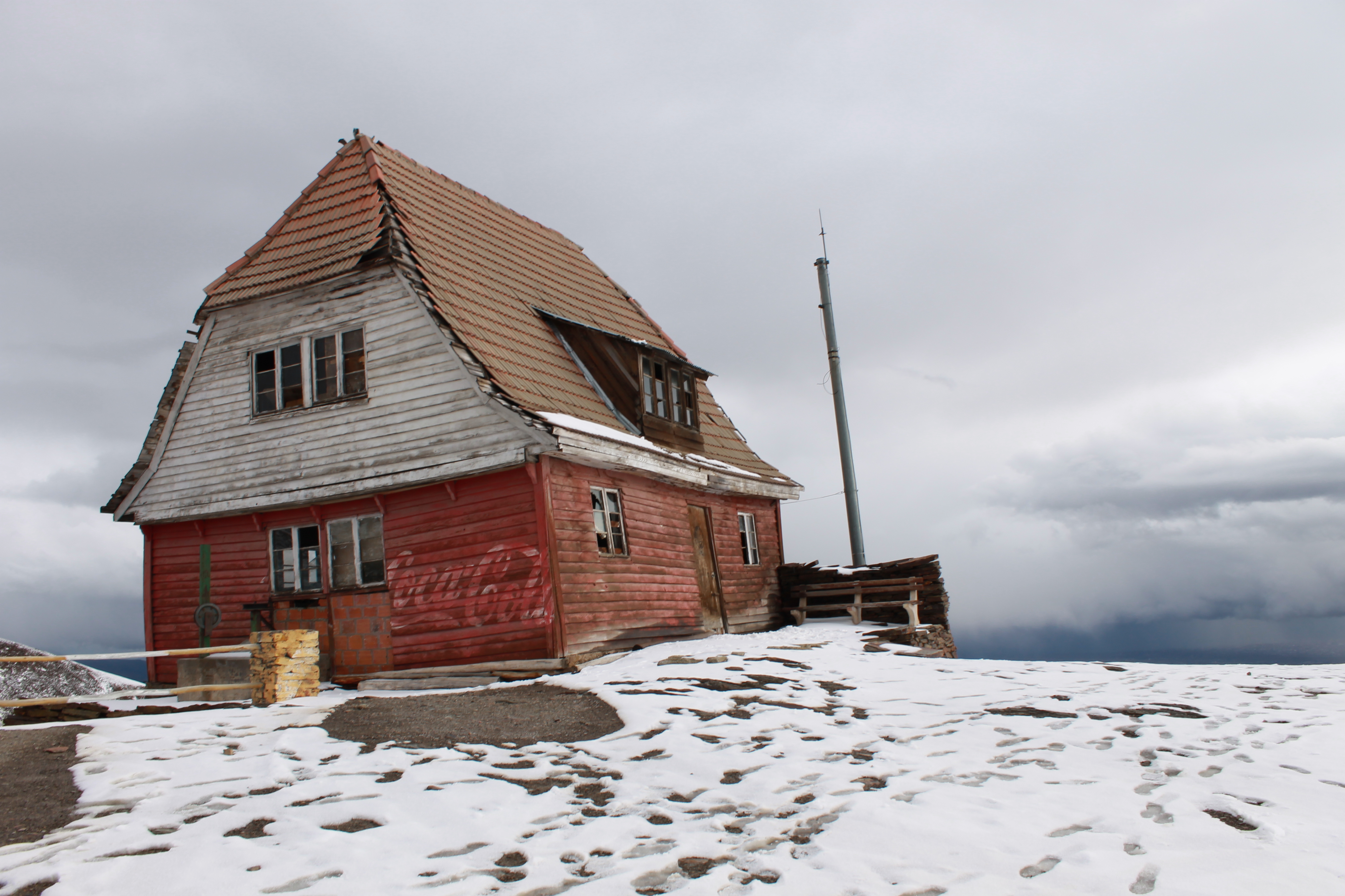
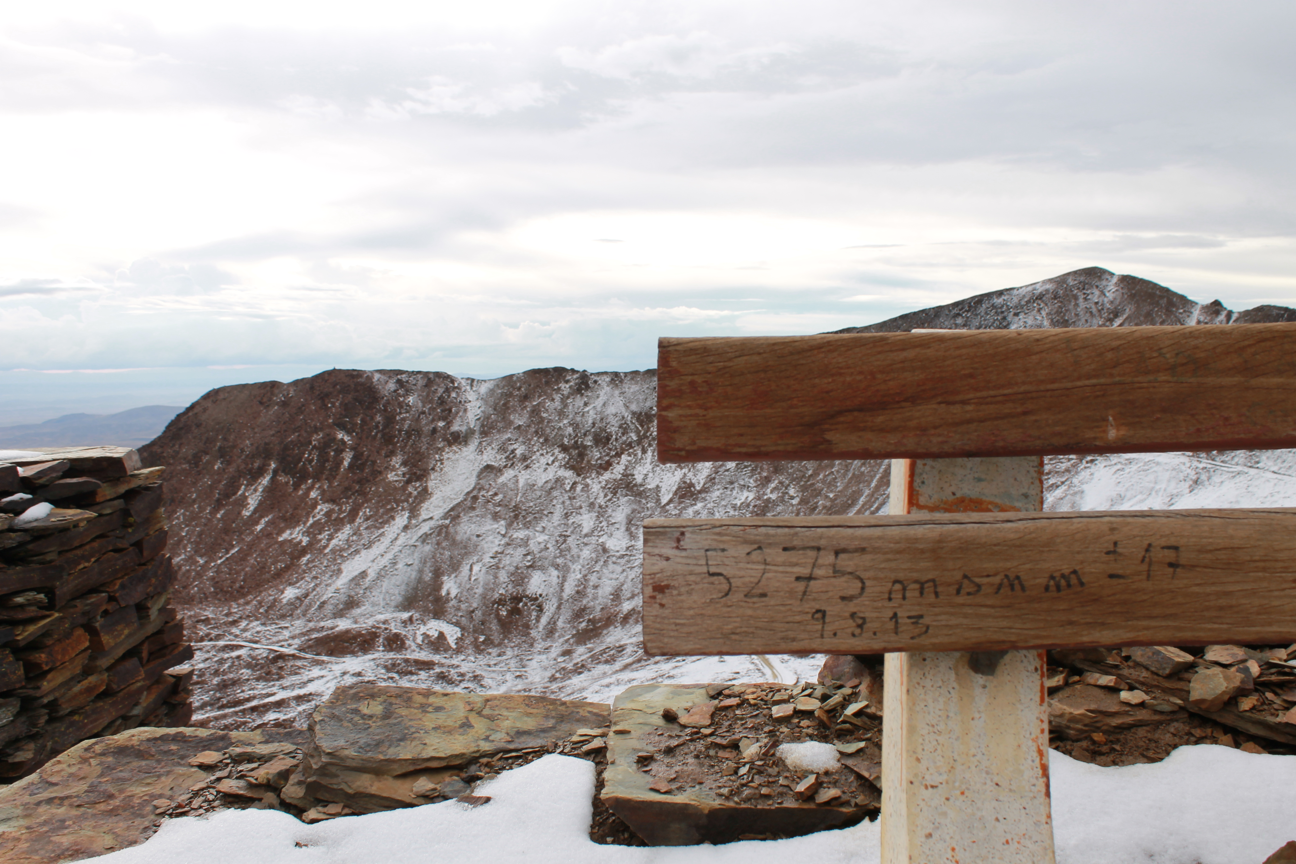
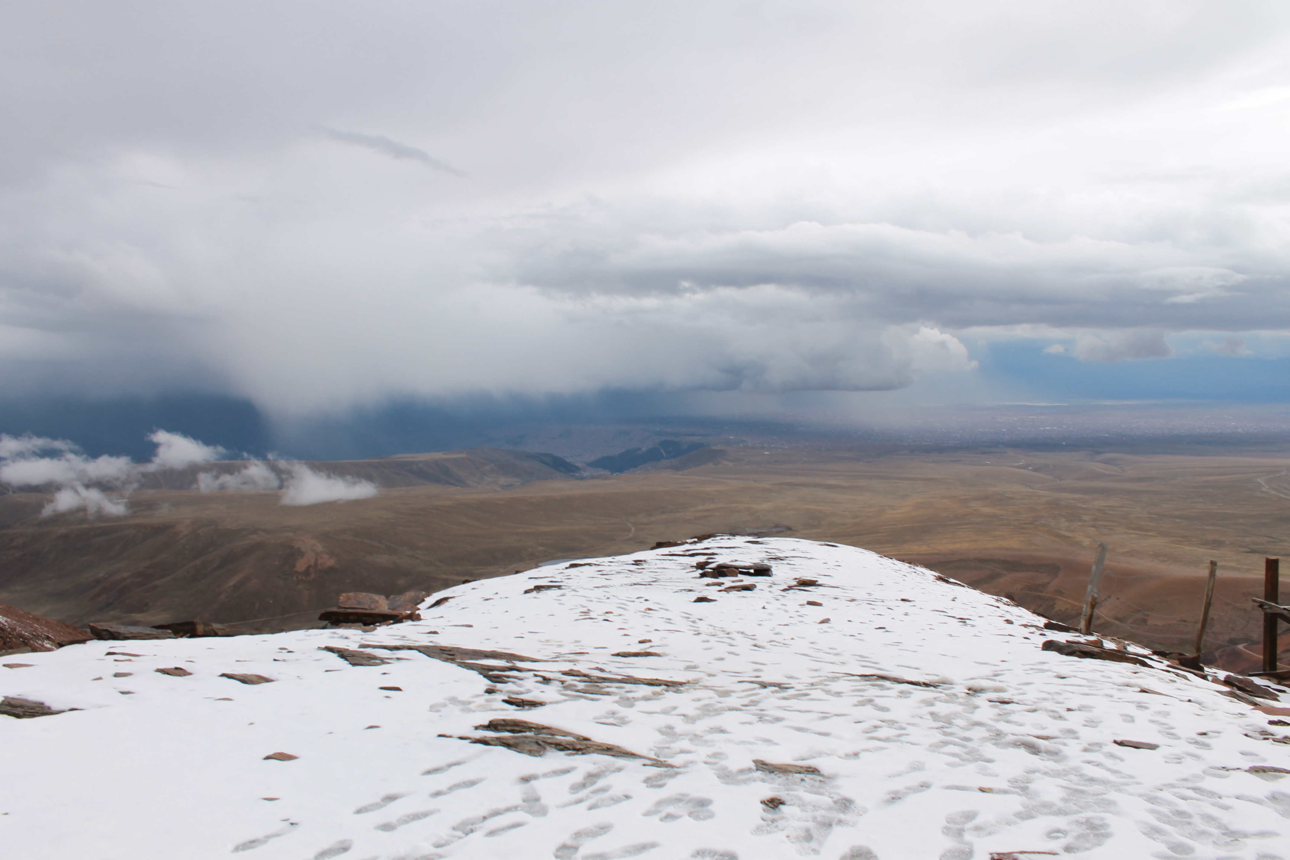
The trek involves a path with a wire cord (rather than a handrail) and is mostly flat so not a difficult walk. It is, however, very narrow.Oh, but then our guide (known affectionately as Papa Phil) took us off the track and on a steep climb up the rocky mountainside. Whereupon snow began to fall.After a quick lunch in a marshy spot that made me think of English moors, we hiked up a little more and reached this spectacular lake.We’d been told that with climate change, the glacier was melting and there might not be any snow. Guess we were lucky that day.And then back down the glacier.So apparently an Israeli motorcyclist tried to ride the whole route and fell to his death on the return leg, not too far from base camp.
Chacaltaya
On the road to our next mountain for the day, some llamas got in the way. This is Bolivia, after all.This abandoned lodge on Chacaltaya is a bizarre fusion of Scandinavian architecture and American advertising.5272 metres above sea level – and we weren’t even at the summit.A stunning view from Chacaltaya, even on an overcast evening. You can see El Alto in the distance, and beyond that, the sliver of Lake Titicaca.
One thought on “All About Altitude (Charquini and Chacaltaya)”